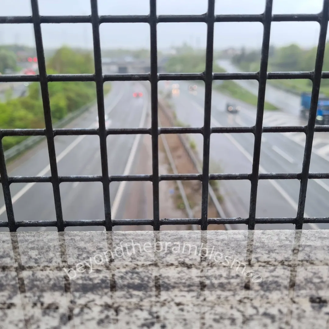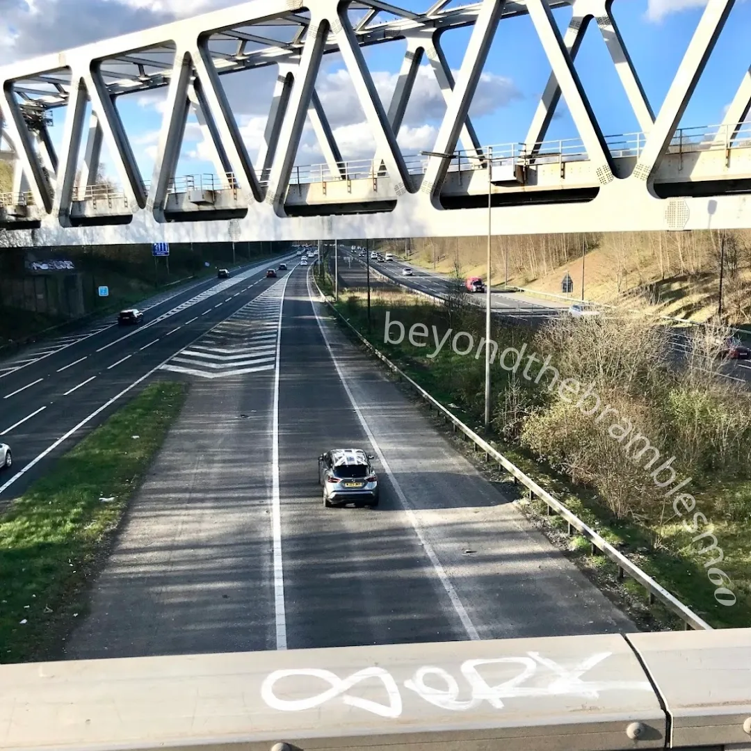
This road loops the city like a modern-day moat: seen, heard, and crossed, yet rarely questioned.
It encircles Manchester, dividing and defining it.
It reflects different versions of the same place.
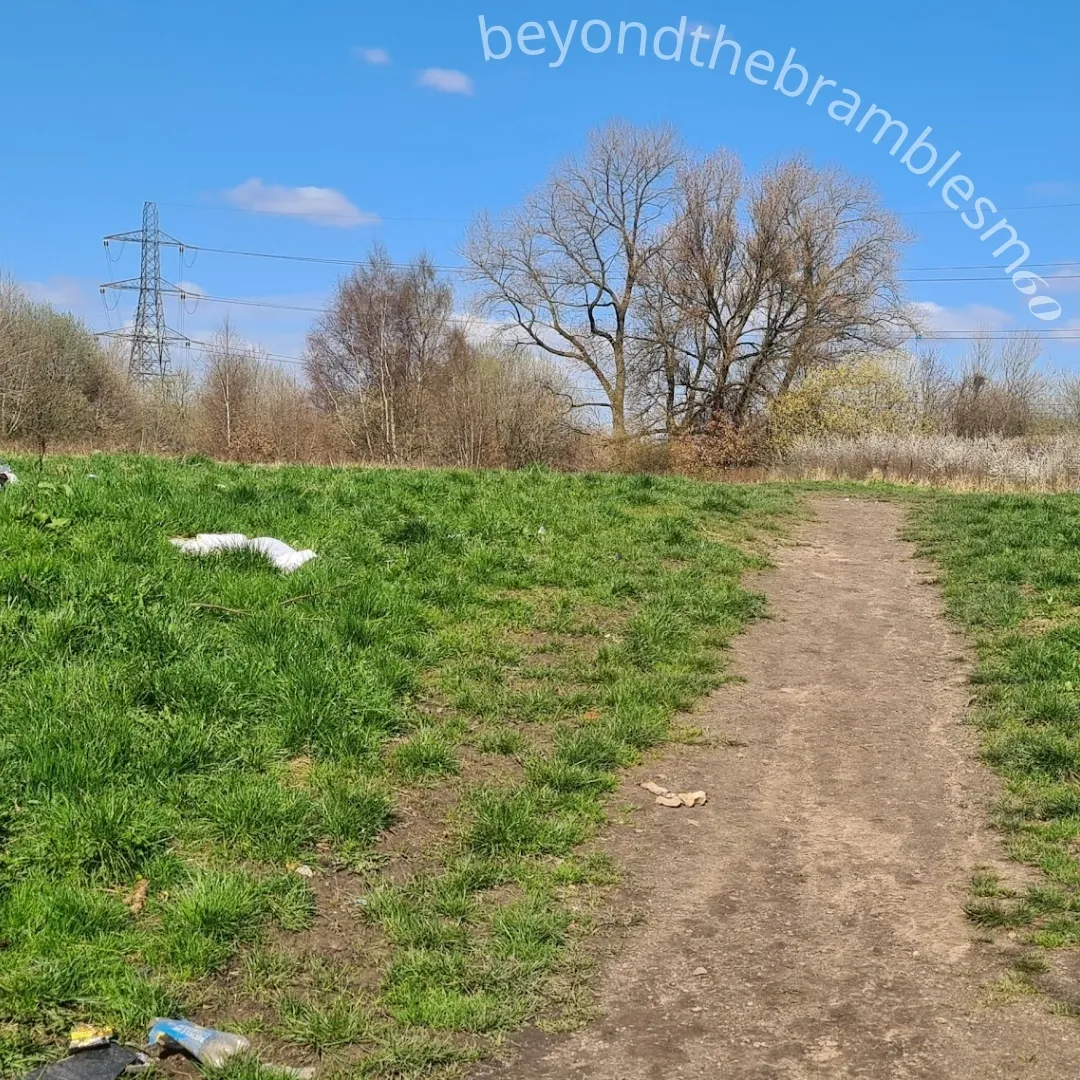
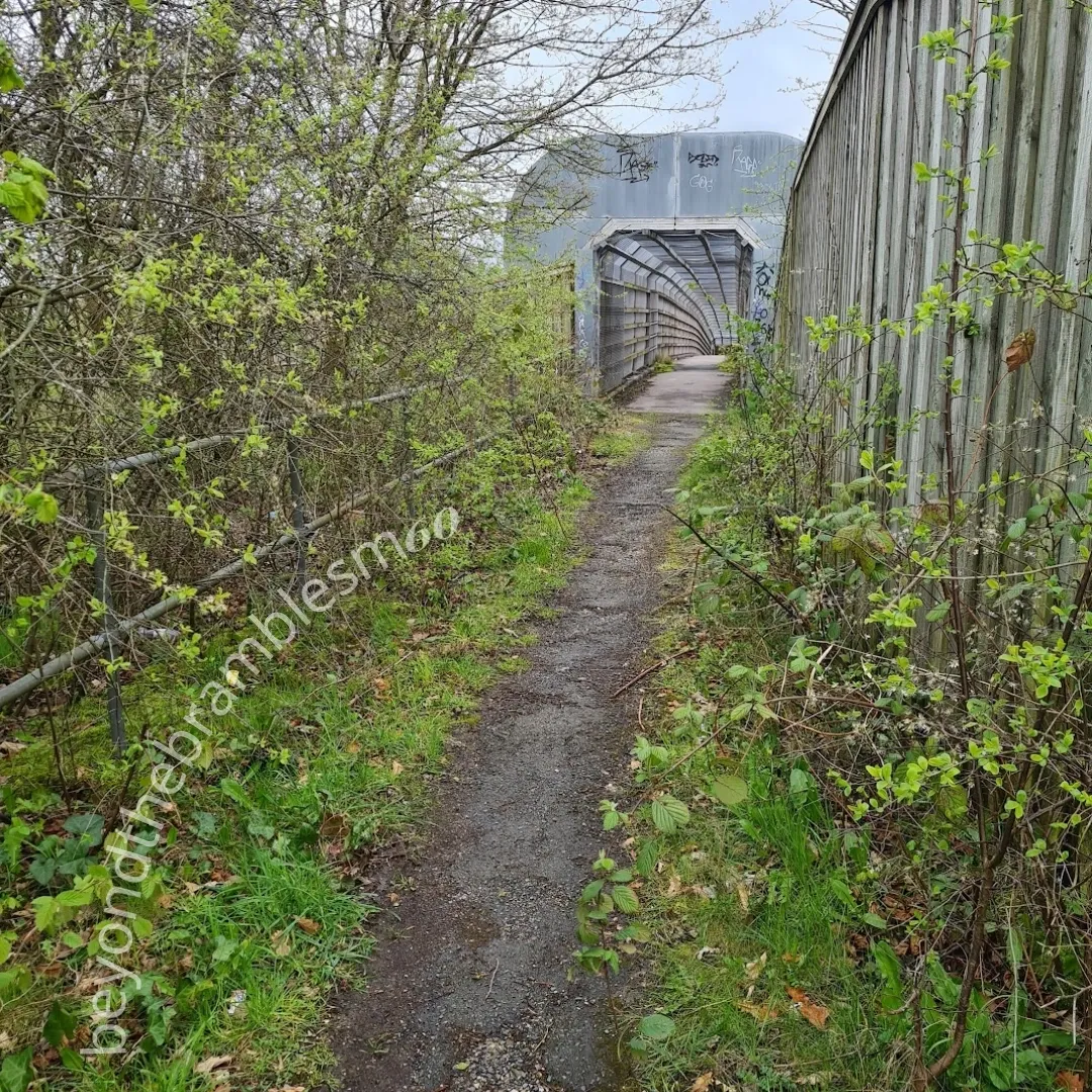
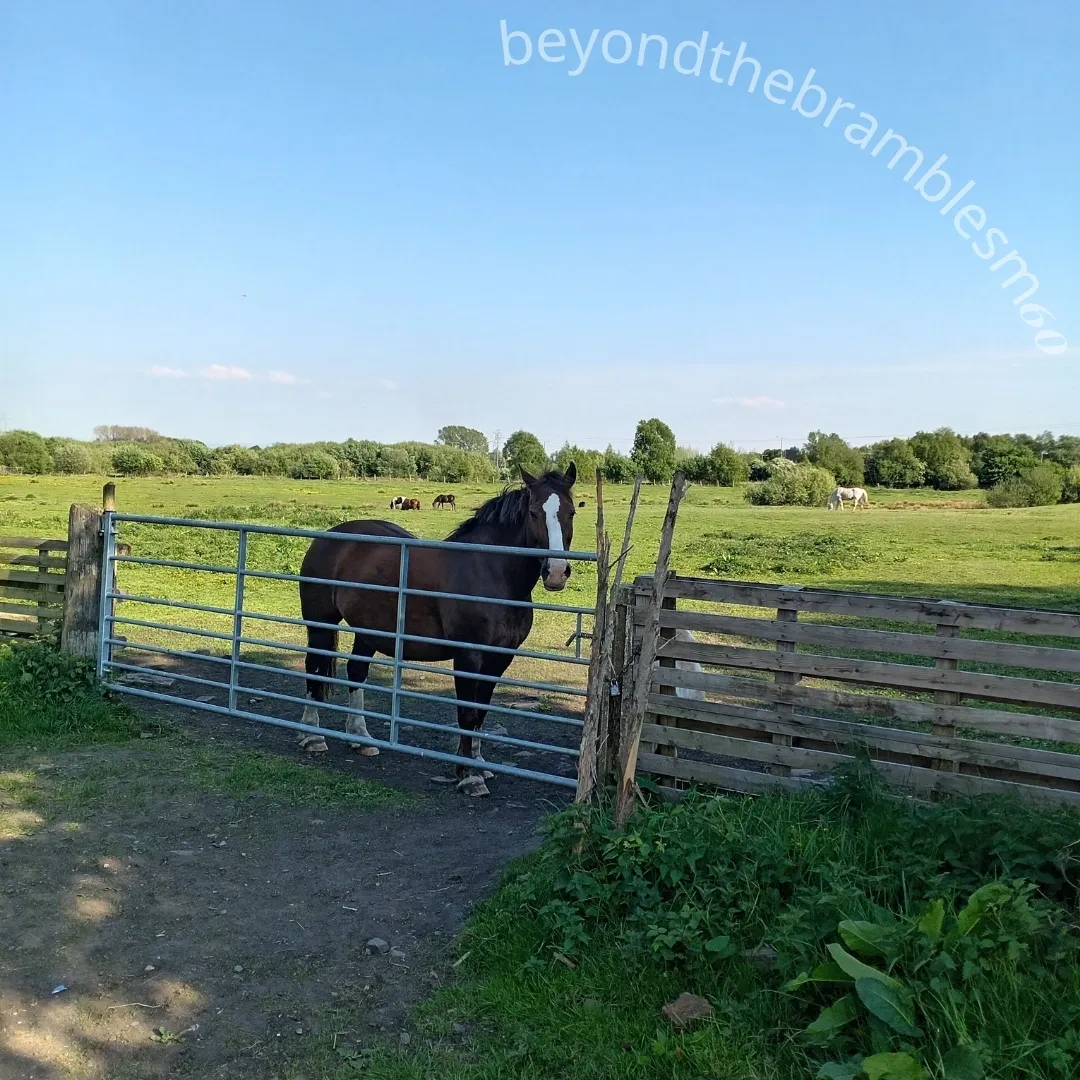
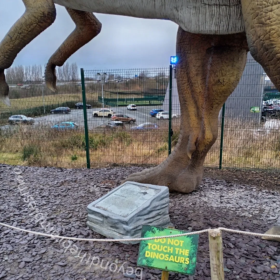
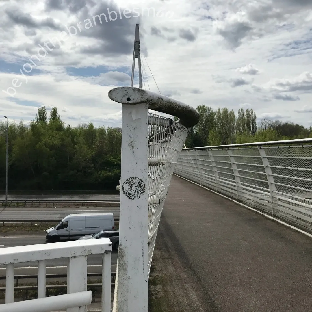
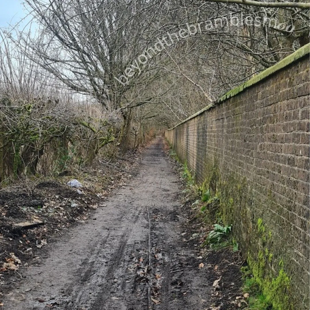
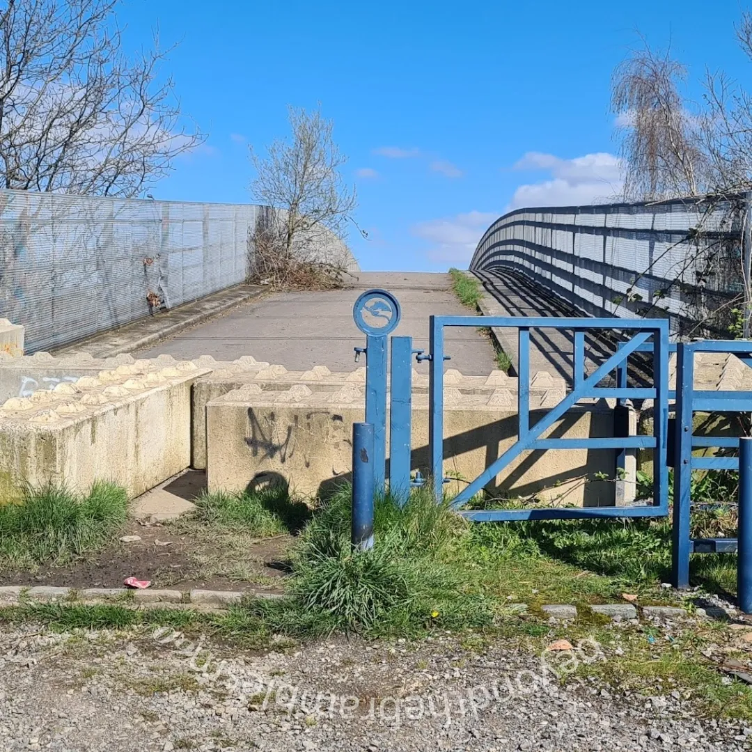
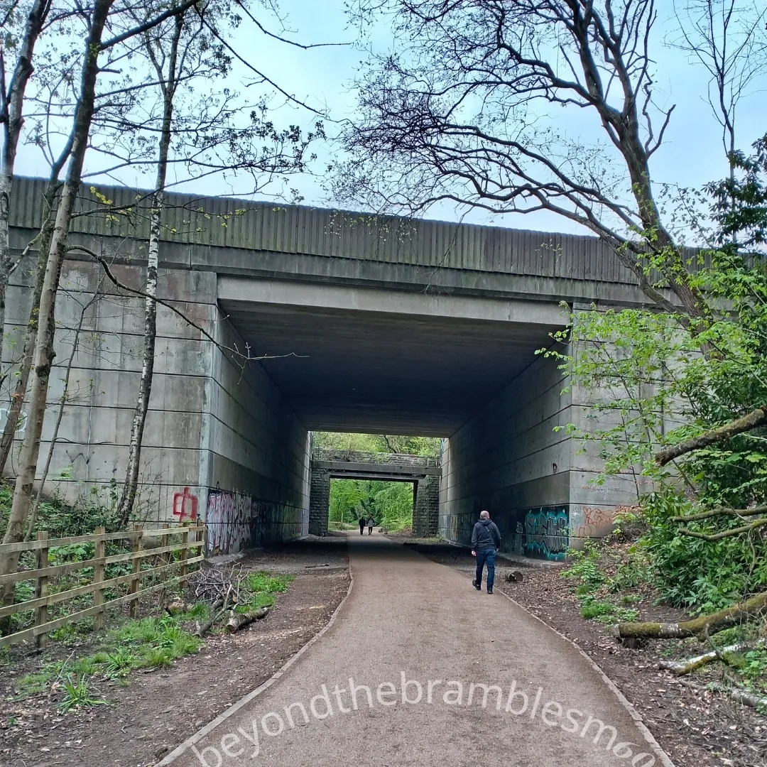
Follow the motorway beside, above, and below—across official and unofficial paths, bridleways, fields, scrubland, housing estates, gated communities, and industrial zones.
A journey around a ring road and a walk through a map of inequality.
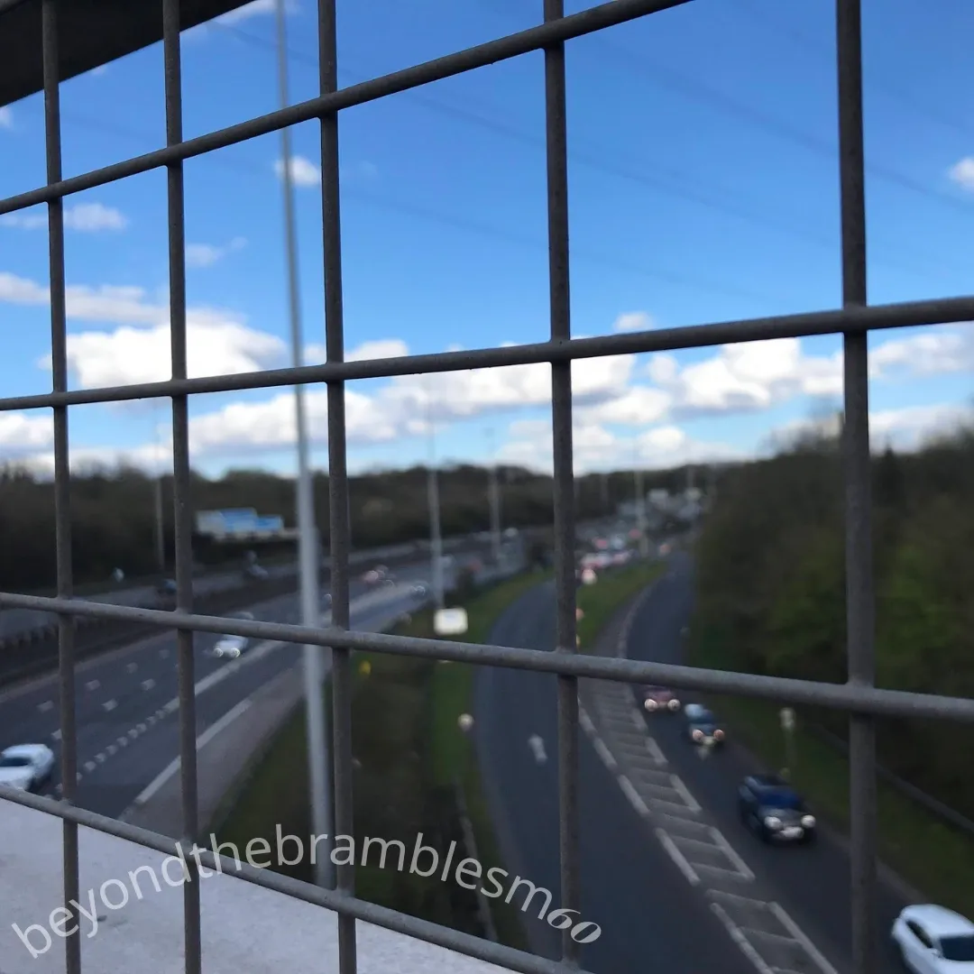
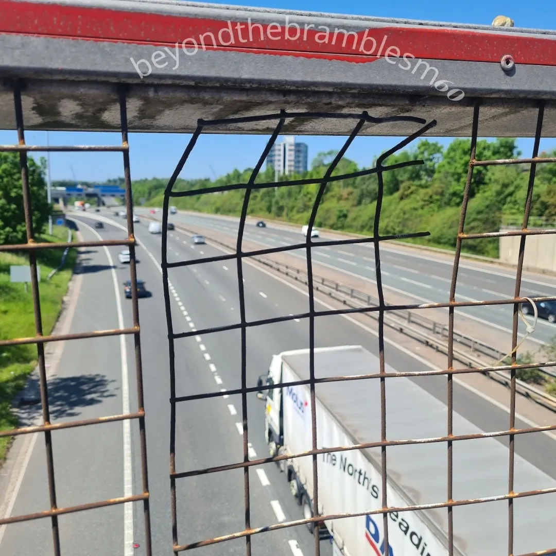
The M60 connects boroughs but slices through them too.
It isolates as much as it links.
Pedestrian access is patchy, sometimes hazardous, sometimes impossible—forcing detours through broken, fragmented terrain
Noise, pollution, and disconnection weigh heavier in some areas.
Schools back onto slip roads.....
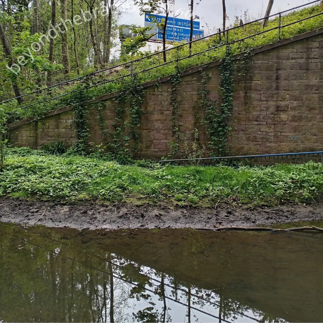
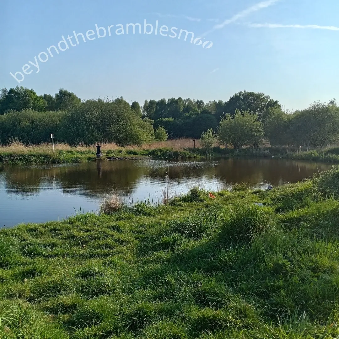
Green spaces shrink or sprawl beside junctions.
Trees tangle with plastic...
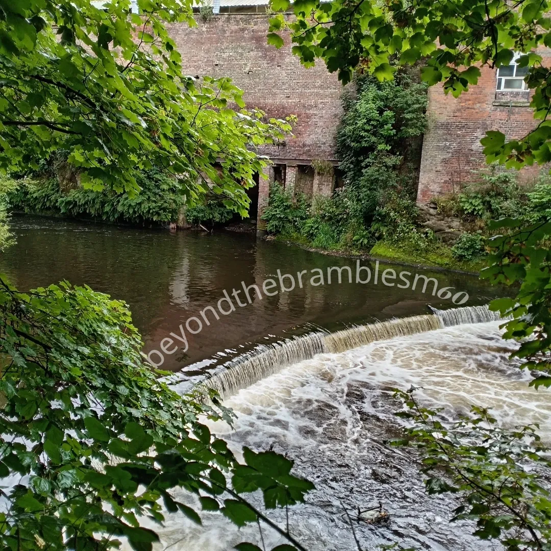
Couples walk hidden paths beside ancient waterways.
Today’s detritus overlays the city’s forgotten past.
The M60 is more than an orbital motorway.
It is a boundary, a barrier, and a monument to a city built around cars— not people.
Walking it made this brutally clear....